Seafloor Atlas › Places › Mid-Atlantic Ridge and Iceland
Mid-Atlantic Ridge and Iceland
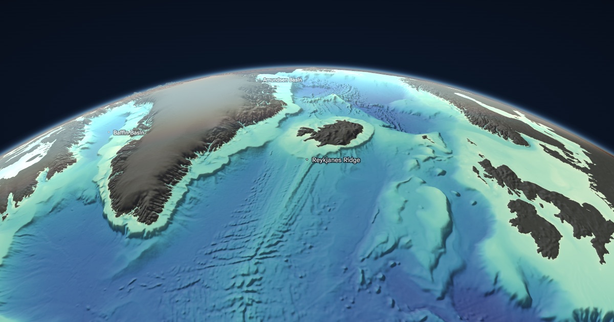
A mountain range down the middle of the Atlantic where North America and Eurasia pull apart by about 2 cm a year. At Iceland a mantle hotspot under the ridge pushes it above sea level.
Explore Mid-Atlantic Ridge and Iceland in 3D
Where it is
Mid-Atlantic Ridge and Iceland is centred near 63.00° N, 25.00° W. In the 3D globe you can turn on What's actually measured to see which parts of this seafloor were surveyed by ships and which are only estimated from satellite gravity, draw a depth profile across it, or change the sea level.
About the data
Depths come from the GEBCO 2026 global grid (15 arc-seconds, about 460 m at the equator). Across the whole ocean, 30.8 % of the seafloor is directly measured; the rest is estimated. Read how this is computed.
More places on the seafloor
- Challenger Deep11.37° N, 142.59° E
- The Hawaiian–Emperor bend32.17° N, 173.00° E
- East Pacific Rise20.00° S, 113.67° W
- Tonga–Kermadec Trench23.26° S, 174.73° W
- Bahama Banks and the Great Bahama Canyon25.82° N, 76.99° W
- Monterey Canyon36.67° N, 122.08° W
- Drake Passage58.00° S, 63.00° W
- Gakkel Ridge84.74° N, 4.44° E
- Romanche Fracture Zone0.24° S, 18.54° W
- Measured vs. estimated: the MH370 search36.00° S, 93.00° E